I am not sure where the idea came from, but here we were, rushing across Carlisle station to catch at train to Dumfries. Our intention to cycle from there to Lockerbie. Several ideas had melded into one; a desire to do more cycle touring, through wilderness and mixed terrain, and a keeness to visit more bothies.
 |
| Marta on the train to Dumfries |
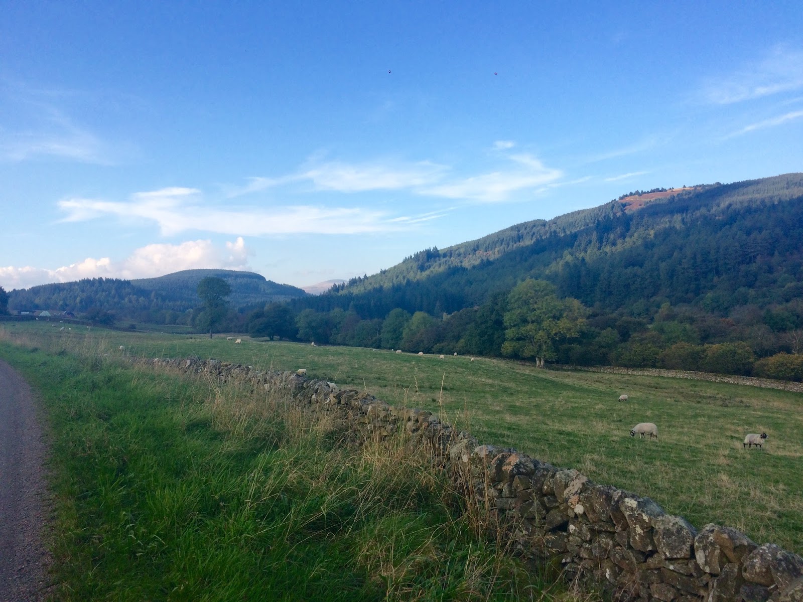
We began, in perhaps not the most auspicious conditions, travelling west from Dumfries, along National Cycle Route 7. The quiet minor road, following the line of a 1760's military road, built to aid troop movement to Ireland. Even in the misty dreich, the rolling countryside was beautiful, the fields brought alive by the heavy plant associated with the construction of a massive pipeline, this time to carry not troops, but gas, across the Irish Sea.
 |
| Old school navigation! |
After a brief, but unpleasant, dalliance with the A75, it was on to the Old Bridge of Urr and to Lauriston. Plunging into the forest, the road climbed steadily for over 3 miles, a great introduction to the high passes of these parts. A pause in Gatehouse of Fleet, before back up into the mist, onto the road to the old Gatehouse Station and the fantastic Big Water of Fleet Viaduct beyond.
 |
| Long steady climb to Gatehouse Station (no station) |
 |
| Big Water of Fleet Viaduct |
Here we reached my objective, where NCR7 became miles of car-free forestry tracks, climbing higher into the Galloway Forest Park. This was the challenge, 15 miles off road, fully laden bike, new cassette and road tyres (long story). At first I was nervous, but I recalled my childhood, riding a steel, drop-handlebarred, narrow-tyred tourer on all sorts of tracks like these. I kept my wheels turning and Marta just kept on rolling. The track steepened and I began to wonder if I had been foolish in binning my megarange freewheel in favour of a more sensible cassette with marginally less teeth. I gritted my own teeth and put those Yorkshire hills to good use.
 |
| The man has Soreen, he needs nothing more... |
 |
| Queen on gravel |
 |
| Finally at the top! |
Dusk began to fall as we neared White Laggan, looking forward to our pasta and sauce and a celebratory bottle of champagne. But as we got closer, we spotted a car parked at the end of the path to the bothy. I was fuming. I had cycled 55 miles only to find some ill-equipped idiots and their dog had driven there (very probably illegally). For those unfamiliar with bothies and the idea behind them, let's just say they are not intended as free holiday houses. They are very, very basic, without water or any other facilities, beyond a fireplace (sometimes), and are intended for the use of those who love the outdoors and are prepared to make the effort to get to them. White Laggan is on both NCR7 and the Southern Upland Way, so we expected to meet like-minded people, on similar journeys to ours, not a carload of neds. The One Who Likes Mushrooms was equally enraged, so much so that he forgot to take his feet out the pedals, landing us both in a heap.
 |
| Track illumination, brought to you courtesy of Firth's Cycles, Black Dyke Mills, Queensbury... |
The next (unplanned) five miles, in the dark, were challenging, the track was noticeably rougher, the descent steep. Through the deciduous woods there were awkward stones and lots of water to negotiate. It was a baptism of off-road fire. Finally on the last, gravelly climb, I was done and I pushed up the hill in defeat.
Having reached the road, we still had to find a place to sleep...
 |
| Long Legs demonstrates her happy face |
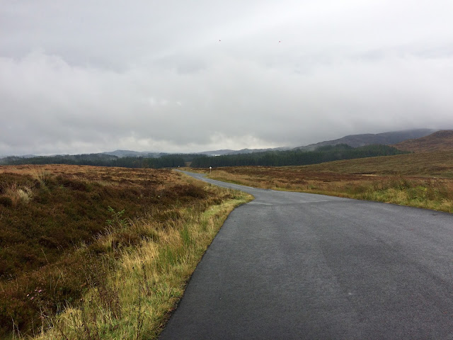
We awoke to torrential rain. Neither of us could muster the energy or will to go back up Glen Trool to pick up our intended route, so, as it poured, we didn't know where we were headed, nor how far we were going to go. We began by going north; Plan A was to reach Stinchar Bridge and Forest Drive and after 12 miles of almost constant climbing we were finally rewarded with a view of the ethereal Carrick Forest to the north.
 |
| Leaving Dumfries and Galloway for a brief sojourn into Ayrshire |
 |
| Definitely still raining... |
 |
| Steam rises from Carrick Forest |
Although open to cars, picking up the Forest Drive gave us another 5 miles of off-road cycling and, despite the atrocious weather, this really was a highlight of the trip. The landscape was wild, rugged and beautiful, it must be absolutely glorious in sunshine!
 |
| Enjoying the Forest Drive, with Loch Bradan behind |
 |
| Photobombing on wheels. Loch Riecawr. |
Sweeping gently down towards Loch Doon, we passed above the Carrick Lane, a raging torrent of brown, boiling water, and continued down to Doon Castle. Obviously I had to stop, if only to marvel at the fact that someone had been bothered to move a whole castle before they constructed the reservoir.
 |
| Doon Castle with Black Craig behind |
 |
| Loch Doon |
Climbing away from the Loch and turning north, we reached Dalmellington and after a cheese sandwich in the bandstand, we left. 20 miles later, after the hardest time trial I have ever done, we reached Dalry. Never has a pub looked so inviting...
 |
| This is not the bothy you are looking for... |
The best B and Bs are often the ones you don't expect and we awoke warm and refreshed on Day 3. Our kit had dried, our bikes were tucked up in a shed and best of all, it had finally stopped raining. Now well off my planned route, we found instead that we were on the National Byway; it seemed rude not to follow it. Another 9 miles of climbing; up, up and over a beautiful high pass, then a long, glorious descent into wooded, luscious pasture and the village of Moniaive.
 |
| Looking down towards the Water of Ken and the hills behind |
The climb from Moniaive was a beast, steep to begin with and rearing up again just when you thought it was over. I regretted my 32 teeth, but perhaps with two days cycling already in my legs, I had every right to be tired! It was worth ever aching muscle, the reward a spectacular view of the Nith Valley, a flat-topped prehistoric hillfort incongruous in the rolling landscape.
 |
| The National Byway and the Kirkpatrick Macmillan bike (nowhere near the KM trail...) |
 |
| Soaking up the landscape of the Nith Valley |
 |
| Rolling through Tynron |
In Thornhill we took stock and decided on a route to Ae that climbed out of the Nith Valley, skirting the southern tip of the Lowther Hills. The roads here seemed steeper, the countryside already rugged rough-pasture, only a couple of miles beyond the town. My tired legs toiled up the road; we were probably moving slower than walking pace, but there was a real sense of achievement reaching the summit plateau and looking back over the hazy landscape through which we had travelled. The flat topped hillfort still standing out proudly, Wee Queensberry poking her head above the vast coniferous forest, the larger Queensberry visible to the left.
 |
| Queensberry and Little Queensberry |
Reaching the edge of the Forest of Ae, we climbed again, before a long, cool descent down to Ae Village. From here, Regional route 10 takes the forest tracks to Beattock, a key part of my original route, but with some sadness I had to concede it would have to wait for another day.
 |
| Ae valley |
Quite suddenly we found ourselves in a flat landscape, the flood plain of the Annan illuminated by golden late afternoon sun. Skirting through the arable fields to the north of Lochmaben, the motorway and Lockerbie, were finally in sight. After 165 miles, and just as darkness began to fall, we had reached our destination.
 |
| The Annan floodplain in the late afternoon sun |
Wet, very definitely off-piste and stressful at times, it had still been an awesome experience. The quiet roads were fabulous, the scenery nothing short of stunning. I loved the long climbs over high passes and all the different landscapes we passed through. I hope that this time, it won't be around 25 years until I visit Dumfries and Galloway again.
 |
| Mission accomplished |